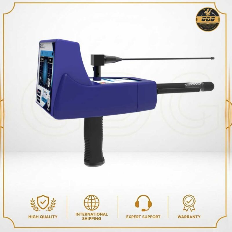
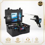
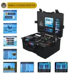
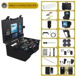
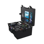
River G 3 Systems Detector
| Weight | 16 kg |
|---|---|
| Dimensions | 52 × 24 × 42 cm |
| Search Depth | 1500 meters |
| Surface Search Range | 3000 meters |
| Warranty | 2 years |
| Made in | Germany |
6.000,00 €
Payment Methods:

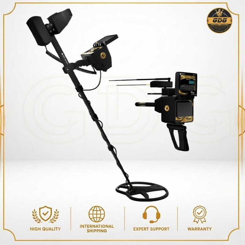
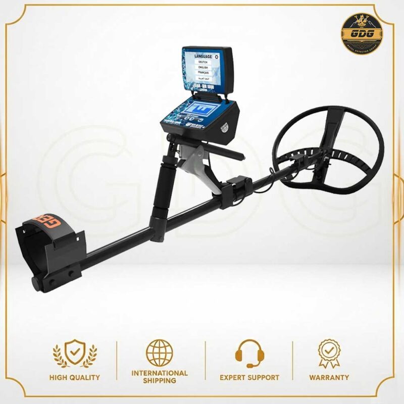
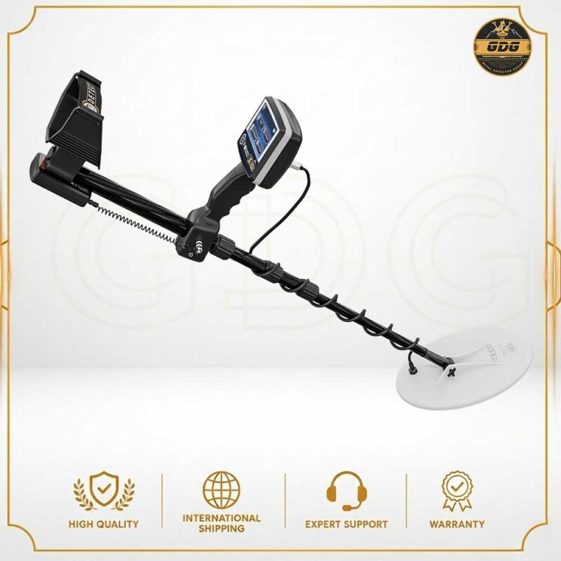
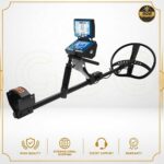
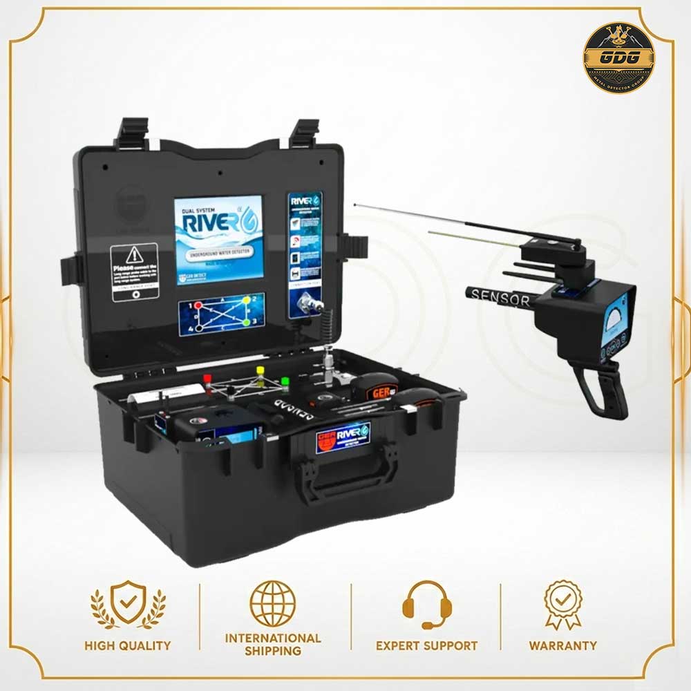
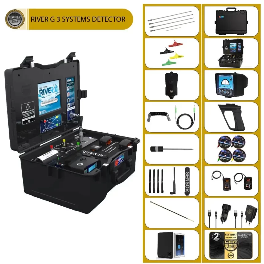
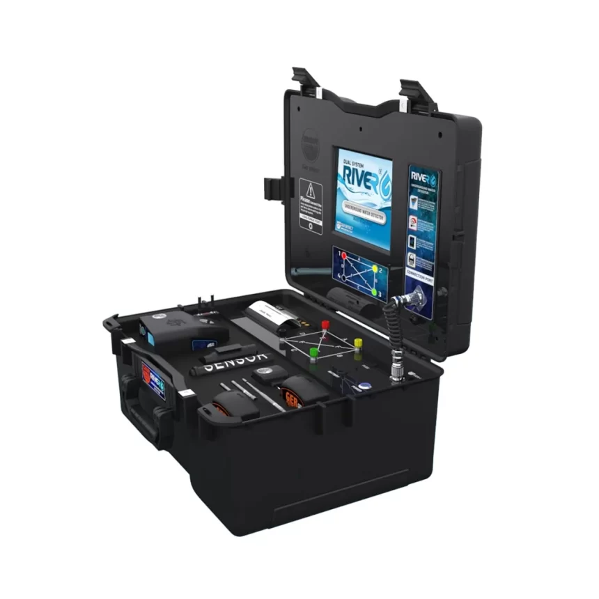
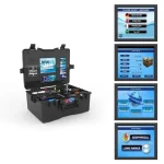
The River G is a completely new and worldwide unique device that is characterized by three systems for detecting groundwater, artesian wells and drill holes under the earth. The 3D imaging system, the geophysical search system and the remote sensing system. The device reaches a depth of 1500 meters in the ground and a front width of up to 3000 square meters and has the ability to identify the depth of groundwater under the earth.
We congratulate farmers, agricultural investors, researchers, explorers and large water exploration companies on this completely new and worldwide unique device that works with three underground water search systems. The device reaches a depth of 1500 meters in the ground and a front width of up to 3000 square meters. Very precise and high probability of determining the type of water whether it is fresh, salty or very salty.
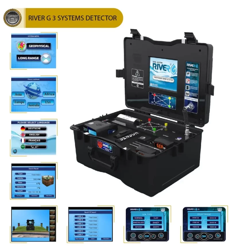
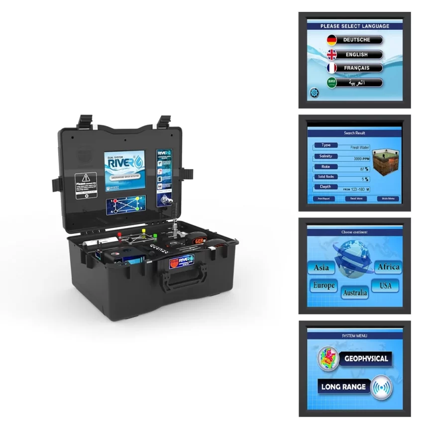
One of the unique features is the possibility to select the continent and the country where underground water is to be sought. The possibility to work worldwide and in different terrains, with the possibility to search in six different soil types (clear, natural, mixed, mineralized, clay, sandy) and display the proportion of rock in the scanning area in the soil. High-quality three-dimensional images of the site of water and rocks in the water exploration area. Also the possibility to determine the depth of groundwater. RIVER G, with advanced technology for detecting and identifying underground water sources.
Systems
3D IMAGING SYSTEM:
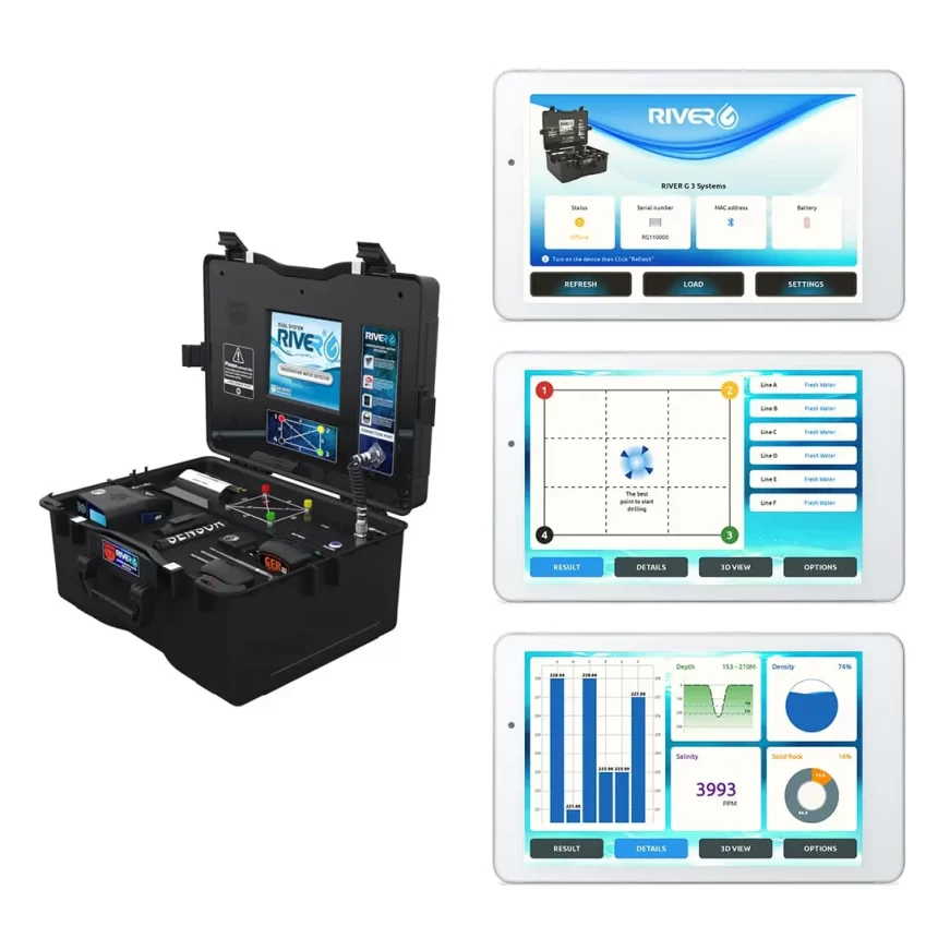
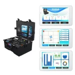
The River G has a 3D imaging system that allows the prospector to see more accurate details of the presence of underground water veins as a three-dimensional image and display the results of water analysis. Type of water with a reference to the best place for digging where the largest quantity of water is located. The determined water depth is measured in meters. A chart shows the ratio of density, rock and salt content.
GEOPHYSICAL SEARCH SYSTEM:
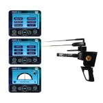
The River G geophysical system is one of the best and most powerful systems for searching for water and displaying fast and accurate results. This system provides the prospector with all necessary data for underground water, with many unique features. Determining the depth of the underground water as well as precise details of water density, salt content and type: whether it is fresh, salty or very salty.
REMOTE SENSING SYSTEM:
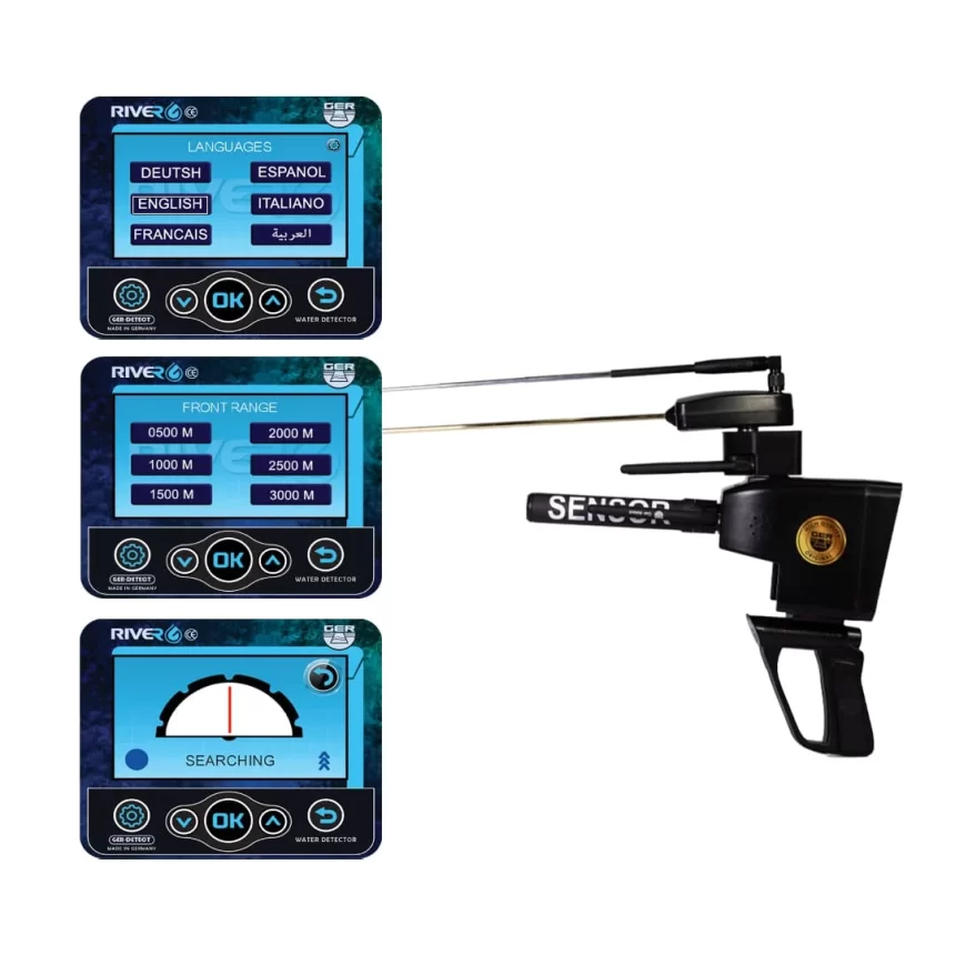
This high precision system can determine the position of water in wide areas. The remote sensing system has several functions: high resolution color screen with touch option. It works with touch and keyboard. It offers six different languages: German, English, French, Spanish, Italian, Arabic. A digital compass for determining the search direction. Determination of the soil type according to the nature of the place to be searched (rough, natural, mixed, mineralized, clay, sandy).
When the target is detected, the user can directly go to the finish until it is exactly on its surface. Limited to an area of 1 square meter, the user can determine the front of the device (from 500 meters, 1000, 1500, 2000, 2500 and 3000 meters) and a depth of 1500 meters below the ground. When the device is running, you can select one of the languages that determine the front and depth. When the target is detected, the device is directed to the identified target, the user can approach the target and is completely limited to an area of 1 square meter.
Loading Viewer...
We offer high-quality gold detectors to help you find hidden treasures and precious metals. Explore our selection and benefit from our dedicated customer service.
Am Holzweg 26 / B-6 Stock
65830 Kriftel
Frankfurt Am Main
Germany
0049 1512 89299 27
0049 15906183577
0049 1786166239